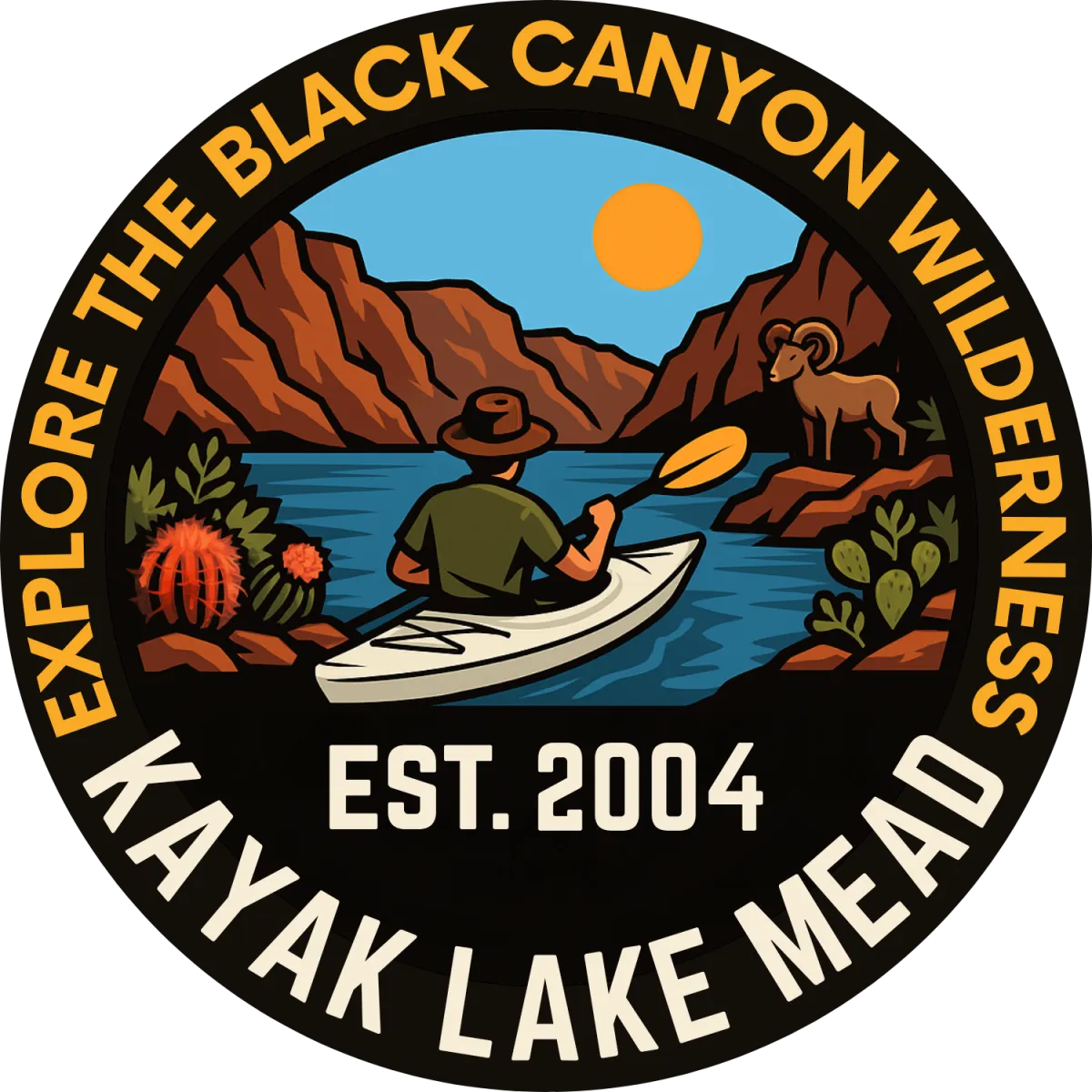
Hiking Tours
Arizona Hot Springs Hiking Tour
The Arizona Hot Springs hike offers an exciting journey through a striking volcanic landscape. This trail has two routes:
Arizona Hot Springs Trail: A direct path to the springs with a 20-foot ladder descent to the Colorado River.
White Rock Canyon Trail: A meandering canyon route connecting back to Arizona Hot Springs to form a loop.
Trail Features:
Gradual elevation changes of up to 800 feet and sections of rock scrambling.
A mix of volcanic rock, granite boulders, and an array of desert flora such as indigo bush, globemallow, and Mormon tea.
Hot Springs:
Heated by geothermal activity, the water temperature ranges between 111–120°F, flowing naturally at 30–50 gallons per minute.
Trail Details:
Distance: 5 miles out-and-back or 5.69 miles as a loop.
Difficulty: Moderate to Strenuous.
Services: Accessible pit toilets are located downstream along the Colorado River.
Important Considerations:
Follow Leave No Trace principles—pack out all trash and waste.
Altering the natural flow of the springs is strictly prohibited.
Parking is located off U.S. Highway 93, south of Hoover Dam.
Avoid hiking during storm threats due to flash flood risks.
Always lock your car and take valuables with you.
Pets are not recommended, and never leave them in cars.
Do not remove plants, wildlife, or geological features—they are protected under federal law.
Arizona Hot Spring
Gold Strike Hot Spring
Gold Strike Hot Spring Hiking Tour
This strenuous hike leads through a picturesque canyon with views of the Colorado River and the iconic Hoover Dam. The journey features seven dryfalls of varying heights, providing a mix of thrilling rope challenges and breathtaking scenery.
Trail Features:
Unique geological formations and desert plants set against the backdrop of volcanic rock and granite.Explore the Black Canyon after sun down
Several narrow and wide sections as washes converge, offering varied terrain, including some rope rappelling and climbing.
Hot Springs:
Like Arizona Hot Springs, these geothermal waters flow naturally, reaching soothing temperatures for relaxation.
Trail Details:
Distance: Approximately 6.5 miles out-and-back.
Difficulty: Moderate to Strenuous.
Elevation: 750 feet.
Grip: There are 7 ropes on this trail that are required to be either climbed or rappelled
Important Considerations:
Ropes in the area are not maintained; any climbing or rappelling is at your own risk.
Altering the natural flow of the springs is strictly prohibited.
Be cautious when navigating the dryfalls, as injuries are common among hikers underestimating the trail’s difficulty.
Follow Leave No Trace principles—pack out all trash and waste.
Always lock your car and take valuables with you.
Avoid hiking during stormy weather due to flash flood risks.
Pets are not recommended, and never leave them in cars.
Do not remove plants, wildlife, or geological features—they are protected under federal law.
Parking:
Hiking Tours
Arizona Hot Spring
Arizona Hot Springs Hiking Tour
The Arizona Hot Springs hike offers an exciting journey through a striking volcanic landscape. This trail has two routes:
Arizona Hot Springs Trail: A direct path to the springs with a 20-foot ladder descent to the Colorado River.
White Rock Canyon Trail: A meandering canyon route connecting back to Arizona Hot Springs to form a loop.
Trail Features:
Gradual elevation changes of up to 800 feet and sections of rock scrambling.
A mix of volcanic rock, granite boulders, and an array of desert flora such as indigo bush, globemallow, and Mormon tea.
Hot Springs:
Heated by geothermal activity, the water temperature ranges between 111–120°F, flowing naturally at 30–50 gallons per minute.
Trail Details
Distance: 5 miles out-and-back or 5.69 miles as a loop.
Difficulty: Moderate to Strenuous.
Services: Accessible pit toilets are located downstream along the Colorado River.
Importand Considerations:
Follow Leave No Trace principles—pack out all trash and waste.
Altering the natural flow of the springs is strictly prohibited.
Parking is located off U.S. Highway 93, south of Hoover Dam.
Avoid hiking during storm threats due to flash flood risks.
Always lock your car and take valuables with you.
Pets are not recommended, and never leave them in cars.
Do not remove plants, wildlife, or geological features—they are protected under federal law.
Gold Strike Hot Spring
Gold Strike Hot Spring Hiking Tour
This strenuous hike leads through a picturesque canyon with views of the Colorado River and the iconic Hoover Dam. The journey features seven dryfalls of varying heights, providing a mix of thrilling rope challenges and breathtaking scenery.
Trail Features:
Unique geological formations and desert plants set against the backdrop of volcanic rock and granite.Explore the Black Canyon after sun down
Several narrow and wide sections as washes converge, offering varied terrain, including some rope rappelling and climbing.
Hot Springs:
Like Arizona Hot Springs, these geothermal waters flow naturally, reaching soothing temperatures for relaxation.
Trail Details
Distance: Approximately 6.5 miles out-and-back.
Difficulty: Moderate to Strenuous.
Elevation: 750 feet.
Grip: There are 7 ropes on this trail that are required to be either climbed or rappelled
Importand Considerations:
Ropes in the area are not maintained; any climbing or rappelling is at your own risk.
Altering the natural flow of the springs is strictly prohibited.
Avoid hiking during storm threats due to flash flood risks.
Always lock your car and take valuables with you.
Pets are not recommended, and never leave them in cars.
Do not remove plants, wildlife, or geological features—they are protected under federal law.
Be cautious when navigating the dryfalls, as injuries are common among hikers underestimating the trail’s difficulty.
Parking:
Hiking Tour FAQ
How much does the guided Hot Springs Hike tour cost?
Our guided hiking tours are $145 per participant.
What is included in the tour price?
Tour guide, snacks, headlamps (night tour)
What is the minimum/maximum group size?
Our hiking tours require a minimum of 2 participants and a maximum of 6.
What is the availability?
Hiking tours are available Monday-Thursday from October 1st - May 14th. Due to extreme heat, the trail to these popular hot springs are typically closed from May 15 to September 30 every summer.
How long is the total experience?
The round trip hike typically takes between 5-6 hours.
What happens if the weather is bad?
We reserve the right to cancel any tour departure for weather or safety reasons and will provide a full refund for any tour cancelled by us.
Do you offer transportation from Las Vegas or nearby hotels?
No, we currently do not offer any transportation to and from the tour location. Check the specific tour information for a link to the parking location.